Competencies
Scientific and practical activity

Fund of geological and other information on the subsoil
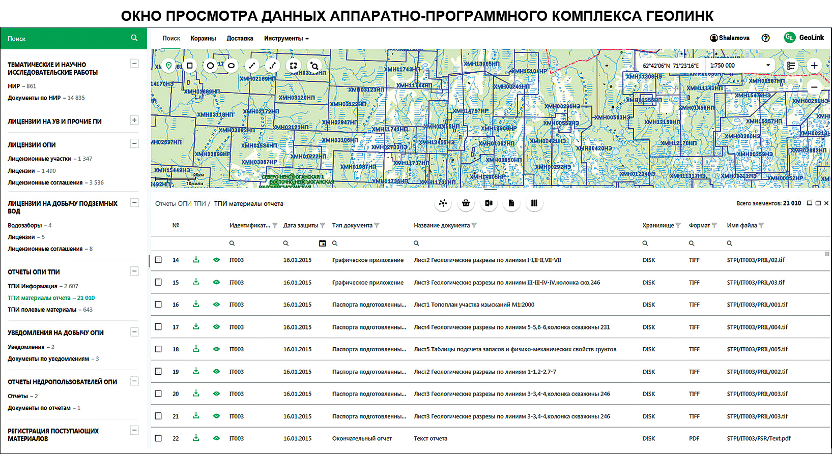
Initially, the databank was created using hardware and software package PetroVision which is being replaced by Russian complex Geolink developed in accordance with tasks and functions of the Centre.
Generally, the database of the Fund represents a fail-safe control system of data which includes the following: data quality control; computerized data import/export; cartographical/tabular presentation of data; data management in accordance with various criteria; protection of physical data; authorized access of users; functions of user management; backup and transfer of the structure of data; archival storage; data restoration possibility; system supervision.
The database has been functioning since 2002 and nowadays it ensures the data storage according to the following sections:
• materials on seismic exploration works (initial field data, informational description of parties);
• prospective objects identified in view of results of the work of seismic crews;
• thematic and scientific and research works;
• reports on common minerals and solid minerals on the territory of KhMAO – Yugra and the Subpolar Urals;
• license agreements on hydrocarbon areas and other mineral resources;
• license agreements on common minerals;
• fund of wells with the informational description of exploratory wells;
• well history;
• materials of reports on the vertical seismic profiling;
• petrophysical studies of core;
• geophysical studies and findings concerning wells.
In 2018 in connection with new assigned tasks the following sections were added in the database of the Fund:
• license agreements on the groundwater extraction;
• notifications on the production of common minerals;
• reports of subsoil users on the production of common minerals.
PREPARATION OF CARTOGRAPHICAL AND DIGITAL INFORMATION
For the filling of the database with information the laboratory staff perform the remastering, digitization and scanning of materials, for instance historical, which refer to sections of information stored in the databank; preparation of data and transfer into a necessary format for the further addition into the database; preparation and print of cartographical materials in universally accessible scales; preparation and verification of geoinformational and cartographical information for the graphic representation of data in the information retrieval system.
PREPARATION OF GEOLOGICAL AND GEOPHYSICAL INFORMATION AND MAINTENANCE OF ARCHIVE
Duties of the laboratory staff include the control of compliance with National State Standards and completeness of transferred materials in printed form or in electronic format, their registration and accounting, systematization and storage in the Archive of the Fund as well as quality control, structurization and standardization; search and provision of materials from the Archive of the Fund upon requests of users who have the approved access.
UPLOADING AND ADMINISTRATION OF THE FUND
Administration and maintenance of the database include the verification and preparation of input data for the upload to the database, the upload of documents, creation of relational connections, query execution, report preparation as well as work with users upon requests, unstandard query execution, updating of data in relation to their validation.
TECHNICAL SUPPORT, MANAGEMENT AND DEVELOPMENT OF THE FUND
The laboratory performs the preparation and maintenance of database catalogs in relation to all kinds of stored information, obtained in view of results geological and geophysical operations in the Okrug; creation of archival copies of data, maintenance of the hardware and software package of the database; affording access of authorized users to the information; control of compliance of software programs to assigned tasks, current and prospective fields of work of the Fund.
Basic tasks of the Fund of geological and other information on the subsoil:
• ensuring of the safe storage of geological and geophysical information in archival and/or digital format;
• immediate hierarchical access to information;
• spatial analysis on the basis of the cartographical interface;
• specified and unspecified reports for the information provision to authorities.
The total amount of digital information uploaded to the databank of the Fund equals 3 terabytes for January 2020. Paper copies of materials are stored
≈ 47,390 reporting units (1,620 linear meters on 78 storage shelves) in the Archive of the Fund.
Head:
Belkina Oksana Aleksandrovna
☎ (3467)35-33-25
✉ belkinaoa@nacrn.hmao.ru
Scientific and practical activity


